Description
Unlock the Land. Own the Hunt.
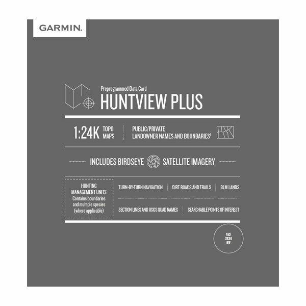
Premium Garmin Hunting Maps microSD™ – With BirdsEye Satellite Imagery & 1:24K TOPO
Serious hunters don’t leave success up to chance — they plan every step. These preloaded Garmin microSD™ cards transform your handheld GPS into a powerful hunting tool, giving you crystal-clear land ownership boundaries, detailed topography, and satellite imagery to maximize every hunt.
Featuring exclusive BirdsEye Satellite Imagery and 1:24,000-scale TOPO maps, this plug-and-play mapping solution gives you full state coverage with unmatched detail. Whether you’re tracking public land, navigating private boundaries, or looking for the best access points, you’ll always know where you are — and where you can go.
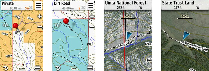
✅ Know exactly who owns the land — private vs public boundaries with names
✅ Navigate confidently with routable roads & trails and turn-by-turn directions
✅ Identify key spots with hunting unit boundaries, food/fuel locations, campgrounds, and more
✅ Use BaseCamp™ software to plan hunts, mark waypoints, save tracks, and revisit your best areas
Includes township, range, section info from BLM, USGS quad references, wildlife refuges, WMAs, and more.
Works with Garmin Astro, Alpha, and other handheld GPS devices. Just insert and go.
Don’t just hunt — hunt smarter.


Michael Combs (verified owner) –
When your dog hits that hot trail and crosses the big swamp and swims that big creek then trees 800 to 1000 yds away from drop point you will appreciate these maps. These maps will allow you to find that alternate route to get you around the swamp, creek and obstacles and closer to your treed dog. For an old hunter like me, it allows continued hunting when it would not be possible otherwise. The added property boundaries also help you find and contact landowners for their access permission when needed Thanks Garmin for keeping me going, and Buzzards Roost for knowing what I need and making it available.